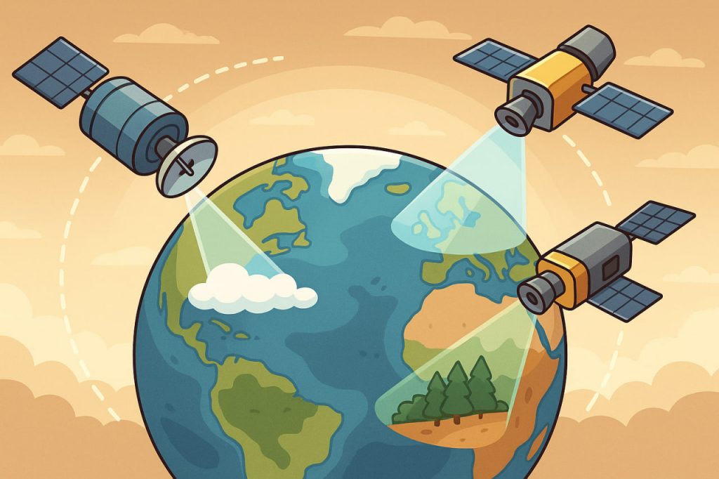
Modern satellites have become one of the most important tools in understanding and tracking climate change. Orbiting Earth, they provide scientists with continuous and detailed data about the atmosphere, oceans, land, and ice. Without satellites, it would be nearly impossible to observe the planet as a whole and detect long-term climate trends.
1. What Satellites Measure
Satellites are equipped with advanced instruments that record a wide range of climate-related data:
- Temperature – of the atmosphere, oceans, and land surfaces.
- Greenhouse gases – levels of carbon dioxide (CO₂), methane (CH₄), and other gases.
- Clouds and precipitation – distribution of rainfall, storms, and water vapor.
- Sea level and ocean currents – tracking melting ice sheets and warming oceans.
- Ice and snow cover – monitoring glaciers, Arctic and Antarctic ice, and seasonal snow.
- Vegetation and land use – observing forests, agriculture, and desertification.
2. How Satellites Work
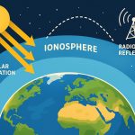
- Passive sensors record natural radiation, like infrared heat emitted by Earth’s surface.
- Active sensors (like radar) send signals and measure their reflection, useful for tracking sea ice or forest cover.
- By orbiting the planet, satellites collect global, long-term, and continuous data that ground stations cannot provide.
3. Key Satellite Missions
- NASA’s Terra and Aqua – study atmosphere, oceans, and land interactions.
- Sentinel satellites (ESA’s Copernicus program) – monitor greenhouse gases, land, and water.
- ICESat-2 – measures ice sheet thickness and sea level changes.
- GOES satellites – track storms and weather patterns in real time.
4. Why Satellite Data Is Crucial
- Detecting global warming trends by comparing temperature records over decades.
- Monitoring polar ice melt and its contribution to sea-level rise.
- Tracking deforestation and its role in carbon emissions.
- Improving climate models that predict future changes.
- Supporting disaster response for floods, droughts, wildfires, and hurricanes.
5. Everyday Benefits for Society
- More accurate weather forecasts.
- Early warning systems for extreme weather events.
- Data for international climate agreements and policies.
- Insights for agriculture, urban planning, and natural resource management.
Conclusion
Satellites are the eyes of humanity in space, giving us a global view of Earth’s climate system. By measuring temperature, greenhouse gases, sea levels, and ice, they allow scientists to track climate change with unprecedented accuracy. This knowledge is essential for preparing for future challenges and protecting both people and ecosystems.
Glossary
- Greenhouse gases – gases that trap heat in the atmosphere, contributing to global warming.
- Sea level rise – the increase in global ocean levels due to melting ice and warming water.
- Passive sensors – satellite instruments that detect natural radiation.
- Active sensors – instruments that send out signals and record reflections.
- Climate models – computer simulations predicting future climate changes.