Space maps are essential tools that help astronomers and scientists navigate and understand the universe. Unlike traditional maps of Earth, space maps chart stars, galaxies, planets, and other celestial objects across vast distances. They are built using advanced technology and observations from both the ground and space.
Observations Through Telescopes
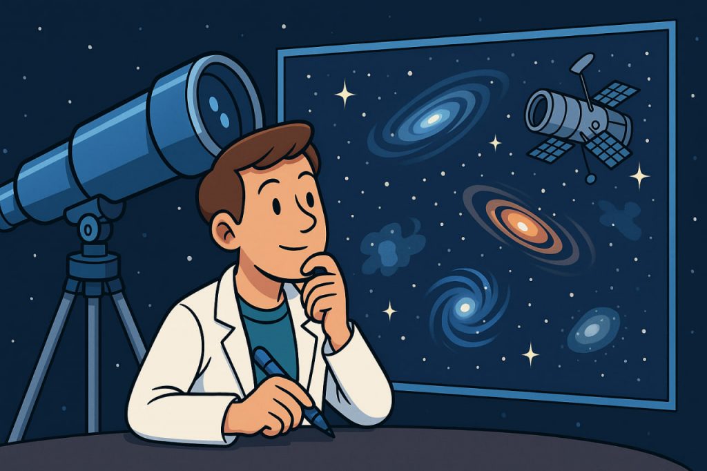
The first step in creating space maps comes from telescopes. Ground-based observatories and space telescopes, such as the Hubble Space Telescope or the James Webb Space Telescope, collect light from distant objects. Depending on the type of telescope, they capture different parts of the spectrum—visible light, infrared, X-rays, or radio waves—providing a fuller picture of space.
Astrometry: Measuring Positions of Stars
Astrometry is the science of precisely measuring the positions and movements of stars. Missions like ESA’s Gaia spacecraft have mapped the positions of over 1.8 billion stars, creating the most accurate 3D map of the Milky Way to date. This data allows astronomers to study how stars move and how our galaxy evolves.
Spectroscopy for Composition
By analyzing light from stars and galaxies, scientists can determine what they are made of. Spectroscopy reveals the chemical elements, temperature, and motion of celestial bodies. This information helps add detail to cosmic maps beyond just location.
Radio and Infrared Mapping
Some objects, like gas clouds and hidden stars, cannot be seen in visible light. Radio telescopes and infrared detectors penetrate dust clouds, revealing star-forming regions and the structure of galaxies. These observations are combined with optical data to create comprehensive maps.
Cosmic Microwave Background (CMB) Maps
Special satellites such as WMAP and Planck have mapped the faint radiation left from the Big Bang, known as the cosmic microwave background. These maps provide a blueprint of the early universe and help scientists understand its origins and large-scale structure.
Building 3D Models of the Universe
Modern technology allows scientists to transform billions of observations into 3D maps. These maps show not only where stars and galaxies are but also how they move and interact. Such maps are crucial for studying dark matter, dark energy, and the overall shape of the cosmos.
Conclusion
Space maps are created through a combination of telescope observations, precise measurements, spectroscopy, and advanced computer models. From star charts to cosmic background maps, they allow humanity to navigate the universe and explore its history and structure. Without them, modern astronomy and space exploration would be impossible.
Glossary
- Astrometry – measurement of the positions and movements of stars.
- Spectroscopy – analysis of light to determine composition and motion.
- Infrared – light beyond the visible spectrum, used to see through dust clouds.
- Cosmic microwave background (CMB) – faint radiation from the Big Bang.
- 3D cosmic map – a spatial model of stars and galaxies in the universe.


