The Global Positioning System (GPS) is a technology used daily in navigation, smartphones, shipping, and aviation. But few people realize how GPS works and how satellites high above Earth make real-time location tracking possible. The system combines physics, engineering, and space infrastructure to determine a receiver’s precise position on the planet.
Satellites and Their Orbits
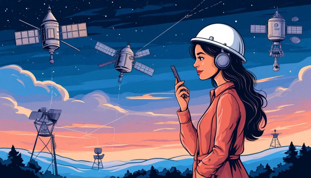
GPS relies on a constellation of satellites orbiting Earth at an altitude of about 20,200 kilometers. These satellites move in medium Earth orbit (MEO) and circle the planet twice per day. At any given moment, at least 24 active GPS satellites are positioned so that several are visible from any location on Earth.
Each satellite broadcasts continuous radio signals that contain information about its current time and position. These signals travel at the speed of light and are received by GPS devices on the ground. The system is designed so that a GPS receiver can always connect with at least four satellites simultaneously.
Triangulation and Time Delay
To calculate location, GPS receivers use a method called triangulation (or more precisely, trilateration). By measuring how long the signal from each satellite takes to arrive, the device estimates its distance from those satellites. Since the speed of the signal is known, even slight differences in time delay allow the receiver to compute an accurate position.
With data from at least three satellites, the device can determine a two-dimensional position (latitude and longitude). Adding a fourth satellite allows the system to calculate altitude and correct for timing inaccuracies in the device’s clock.
Atomic Clocks and Accuracy
GPS satellites are equipped with atomic clocks, which are incredibly precise and stable. These clocks ensure that each satellite sends out time-stamped signals that match real universal time. Accurate timing is essential because even a tiny error of a microsecond could lead to location errors of hundreds of meters.
GPS receivers compare their internal clocks with satellite signals and adjust accordingly. Without the accuracy provided by atomic clocks, modern GPS applications like aviation, autonomous driving, and precision farming would not be possible.
Signal Corrections and Enhancements
Several factors can interfere with GPS accuracy, including atmospheric disturbances, signal reflections, or obstruction from buildings and terrain. To overcome this, correction systems like WAAS (Wide Area Augmentation System) and DGPS (Differential GPS) are used to enhance precision.
WAAS, for example, uses additional satellites and ground stations to correct signal distortions over North America. These enhancements allow civilian GPS to achieve accuracies within a few meters, and in some systems, even centimeters.
Applications and Everyday Use
Today, GPS is used in far more than just maps. It plays a role in disaster response, military operations, aviation, ocean navigation, earthquake monitoring, and even in synchronized banking systems. Smartphones use assisted GPS (A-GPS), which also leverages mobile towers and Wi-Fi to get faster fixes.
The global economy depends on accurate GPS data. For example, shipping companies optimize routes using GPS tracking, while farmers apply fertilizer with centimeter precision. All of this is made possible through constant communication with satellites orbiting far above.
Conclusion
GPS is a remarkable example of space technology integrated into daily life. By using signals from a network of satellites and precise timing, GPS devices can determine location almost anywhere on Earth. As satellite technology continues to advance, we can expect even greater precision and broader applications across science, business, and society.
Glossary
- GPS (Global Positioning System) — a satellite-based navigation system that provides real-time location and time information.
- Constellation — a group of satellites working together in coordinated orbits.
- Medium Earth Orbit (MEO) — the altitude range in which GPS satellites operate (about 20,200 km above Earth).
- Triangulation / Trilateration — the process of determining position by calculating distances from multiple known points.
- Time delay — the difference between when a signal is sent and when it is received, used to calculate distance.
- Atomic clocks — highly accurate timekeeping devices used in satellites for precise signal timing.
- WAAS / DGPS — systems that improve GPS accuracy by correcting signal errors.
- A-GPS — Assisted GPS; combines satellite signals with mobile network data for faster location fixes.