Navigating in space is much more complex than traveling on Earth because there are no roads, signposts, or fixed reference points. Spacecraft must rely on physics, precise calculations, and advanced technology to determine their position, orientation, and trajectory. Space navigation combines astronomy, physics, and engineering to ensure that missions reach their destinations, whether orbiting Earth, landing on the Moon, or traveling to distant planets.
Principles of Space Navigation
Space navigation is based on the laws of motion and gravity described by Isaac Newton. A spacecraft moves according to its initial velocity and the gravitational forces acting on it. Unlike cars or planes, spacecraft cannot constantly adjust their course with engines—they rely on short bursts of thrust and careful planning to follow predictable orbital paths.
Methods of Determining Position
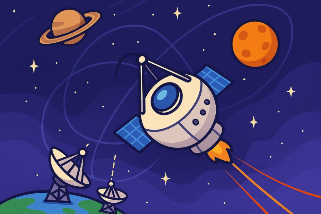
- Ground-based tracking – Large radio antennas on Earth track signals sent by spacecraft. By measuring the time it takes for signals to travel, scientists calculate distance and speed.
- Star trackers – Cameras onboard spacecraft identify constellations and compare them to star maps, providing orientation in space.
- Gyroscopes and accelerometers – Measure changes in movement and rotation to help maintain course.
- Pulsar navigation – A future technology that uses signals from distant pulsars (rotating neutron stars) as natural space beacons, similar to GPS.
Gravity Assists and Trajectory Planning
To save fuel, spacecraft often use gravity assists—flying close to planets to gain speed and change direction. For example, missions to the outer planets often swing by Venus, Earth, or Jupiter to slingshot toward their destination. Careful trajectory planning ensures that spacecraft arrive at the right place at the right time.
Deep-Space Navigation
For missions far from Earth, such as Voyager or New Horizons, navigation relies heavily on radio signals from NASA’s Deep Space Network (DSN)—a global system of antennas that tracks spacecraft billions of kilometers away. The accuracy of these measurements allows engineers to make small course corrections over vast distances.
Challenges of Space Navigation
- Signal delay – Radio signals travel at the speed of light, so commands may take minutes or hours to reach spacecraft.
- Fuel limitations – Every course correction consumes precious fuel.
- Extreme distances – Tiny errors in navigation can become huge deviations after millions of kilometers.
Conclusion
Space navigation is a remarkable achievement of science and engineering. By combining ground-based tracking, onboard instruments, and the laws of physics, scientists guide spacecraft with incredible precision across the solar system and beyond. Future innovations, like pulsar-based navigation, may allow even greater autonomy for deep-space missions, bringing humanity closer to interstellar exploration.
Glossary
- Trajectory – the path that a spacecraft follows through space.
- Gravity assist – a maneuver that uses a planet’s gravity to change a spacecraft’s speed or direction.
- Star tracker – an optical device that identifies stars to determine spacecraft orientation.
- Deep Space Network (DSN) – a system of large antennas on Earth used to communicate with distant spacecraft.
- Pulsar – a rapidly rotating neutron star that emits regular beams of radiation, useful for navigation.