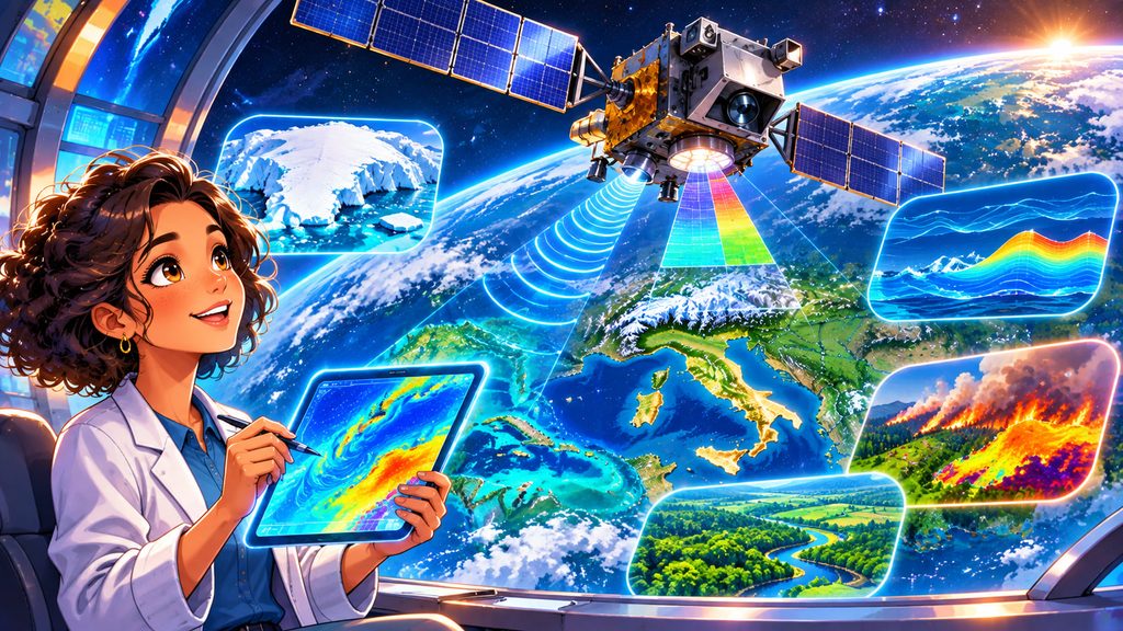
Imagine watching the entire planet change from 815 kilometers above its surface. Ocean currents shift, Arctic ice retreats, forests experience heat stress, and rivers carry sediment toward the sea. Most of these changes happen gradually, making them difficult to recognize from the ground. A new European satellite is designed to transform these invisible patterns into valuable scientific information.
Launched on September 15, 2026, Copernicus Sentinel-3C represents an important step in Europe’s environmental monitoring capabilities. Its first images, unveiled in October, revealed remarkable details of Italy, the Canadian Arctic, and the Caribbean. But beautiful photographs are only a small part of the mission: Sentinel-3C is a sophisticated scientific laboratory orbiting Earth.
What Is Copernicus Sentinel-3C?
Sentinel-3C is the third satellite in the European Sentinel-3 series, developed by the European Space Agency (ESA) for the European Union’s Copernicus Programme. This ambitious initiative collects environmental information using satellites, ground-based instruments, and scientific models. Its observations support climate research, weather forecasting, ocean monitoring, agriculture, and disaster management.
The new spacecraft joins Sentinel-3A, launched in 2016, and Sentinel-3B, launched in 2018. Its primary purpose is to ensure data continuity, allowing researchers to compare environmental measurements collected over many years. Understanding climate change requires consistent observations over decades, not simply impressive images from individual missions.
A Successful Launch From French Guiana
Sentinel-3C began its journey aboard Europe’s Vega-C rocket from the Guiana Space Centre on September 15, 2026, at 03:21 Central European Summer Time. The mission also carried ESA’s FLEX satellite, designed to study the faint light emitted by plants during photosynthesis. A special launch adapter allowed the rocket to deliver both spacecraft into their required orbits.
Sentinel-3C operates in a Sun-synchronous orbit approximately 815 kilometers above Earth. This orbital arrangement allows the satellite to observe locations at similar local solar times, making measurements easier to compare. The spacecraft weighs approximately 1,150 kilograms and carries enough resources to support a planned seven-year mission, with additional design margins for extended operation.
Four Scientific Instruments That Work Together
Sentinel-3C carries four primary instruments, each designed to investigate different characteristics of our planet. The Ocean and Land Colour Instrument (OLCI) examines reflected sunlight across 21 spectral bands, providing information about ocean ecosystems, vegetation, and surface conditions. Its wide observation strip covers approximately 1,270 kilometers.
The Sea and Land Surface Temperature Radiometer (SLSTR) measures thermal radiation to investigate the temperature of oceans and terrestrial surfaces. Meanwhile, the Synthetic Aperture Radar Altimeter (SRAL) measures surface elevation using reflected radar signals. A Microwave Radiometer helps correct these measurements for water vapor in the atmosphere.
Together, these instruments provide a far richer picture than an ordinary camera. This approach is known as multispectral observation, combining measurements at different wavelengths to reveal properties that human eyes cannot directly detect.
The First Images: Italy From Space
On October 8, 2026, ESA presented Sentinel-3C’s first views of Earth, captured shortly after launch. One remarkable image, taken on September 30, showed Italy stretching from the snow-covered Alps to Sicily and the Mediterranean Sea. The fertile Po Valley appeared in contrasting shades of green and brown, highlighting differences in agricultural landscapes.
The surrounding seas revealed additional details. Brighter coastal waters along the Adriatic reflected patterns potentially associated with sediment transported by rivers and coastal currents. Such observations help scientists investigate how land and ocean environments interact.
From Arctic Ice to Caribbean Waters
Another early image revealed the Canadian Arctic Archipelago, west of Greenland. Snow-covered islands, fractured sea ice, exposed rock, and dark ocean channels formed an intricate landscape. These regions are particularly important because the Arctic is warming much faster than the global average.
A third image, acquired on September 29, captured the Bahamas and surrounding Caribbean waters. Shallow coastal areas appeared turquoise, contrasting sharply with deeper ocean regions. These colorful observations can support research into coastal ecosystems, water quality, and changing marine environments.
How Sentinel-3C Measures Rising Sea Levels
One of Sentinel-3C’s most important instruments is its radar altimeter. It sends radar pulses toward Earth’s surface and measures how long the reflected signals take to return. Combined with precise information about the spacecraft’s orbit, these measurements reveal the height of the ocean surface.
Satellite measurements show that global mean sea level has risen at an average rate of approximately 3.64 millimeters annually since 1999, with the rate accelerating. Sentinel-3C will strengthen existing observations alongside missions such as Sentinel-6 and the Jason satellite series. These long-term records help scientists understand ocean expansion, melting land ice, and the risks facing coastal communities.
Monitoring Greenland’s Changing Ice Sheet
Between September 30 and October 4, Sentinel-3C collected its first elevation measurements over Greenland. The radar observations closely matched an established digital elevation model, providing an encouraging early indication of instrument performance. This achievement is significant because ice-sheet elevation is an important part of understanding polar change.
Greenland contains enormous quantities of frozen freshwater. As ice melts or flows into the ocean, it contributes to global sea-level rise. Repeated satellite measurements help researchers distinguish temporary seasonal changes from longer-term reductions in ice thickness.
Protecting Oceans and Marine Ecosystems
Ocean color contains valuable biological information. Tiny marine organisms called phytoplankton contain pigments that absorb and reflect particular wavelengths of sunlight. By examining these patterns, scientists can estimate the distribution of chlorophyll and investigate changes in marine productivity.
Sentinel-3C can also help researchers study harmful algal blooms, which sometimes affect fisheries, wildlife, and coastal economies. Satellite observations alone cannot identify every toxin or determine whether water is safe, but they can highlight areas requiring closer investigation. This makes ocean-color monitoring an important component of marine environmental management.
Detecting Heat, Drought, and Wildfires
Satellite temperature measurements reveal conditions that traditional photographs cannot show. Sentinel-3C’s thermal instrument will help identify unusually warm land surfaces, monitor drought conditions, and detect intense heat associated with vegetation fires. Its dedicated fire channels are designed to observe exceptionally hot targets.
These observations are valuable for understanding how environmental stress develops across large territories. Combined with weather models and information from other satellites, they can support wildfire monitoring and assessments of vegetation health. The greatest advantage is the ability to observe vast regions repeatedly, including locations where ground measurements are limited.
A Surprising Partnership With the FLEX Satellite
One particularly fascinating feature of the 2026 launch is the scientific connection between Sentinel-3C and FLEX. The FLEX mission is designed to measure solar-induced fluorescence, an extremely faint glow released by vegetation during photosynthesis. This signal provides information about how plants process sunlight and respond to environmental stress.
Sentinel-3 measurements of surface temperature, atmospheric conditions, and vegetation characteristics can complement FLEX observations. The satellites are planned to support coordinated measurements after orbital adjustments. ESA’s Director of Earth Observation Programmes, Simonetta Cheli, has emphasized the scientific value of combining these missions to improve understanding of plant health and the global carbon and water cycles.
When Will Sentinel-3C Become Fully Operational?
The first successful observations do not mean every scientific instrument is immediately ready for routine service. Following launch, Sentinel-3C entered a commissioning phase during which engineers evaluate instrument performance, calibrate measurements, and confirm system reliability. ESA indicated in October 2026 that this process would continue for several more months.
Once commissioning is complete, ESA and EUMETSAT will share responsibilities for operating the mission and distributing its environmental information. Copernicus data are made freely accessible to researchers, public authorities, businesses, and other users worldwide. This open approach allows scientific discoveries and practical applications to extend far beyond the organizations that operate the satellites.
Sentinel-3C illustrates how space technology can improve our understanding of the planet we already inhabit. Whether monitoring rising oceans, disappearing ice, or stressed ecosystems, its observations will contribute to decisions affecting future generations. Which environmental challenge do you think satellites should prioritize most: climate change, ocean protection, wildfire monitoring, or water security? Share your thoughts in the comments.
Interesting Facts
- Sentinel-3C launched on September 15, 2026, aboard a Vega-C rocket from French Guiana.
- The satellite shares its launch history with FLEX, a spacecraft designed to observe plant fluorescence.
- Its operating altitude is approximately 815 kilometers above Earth’s surface.
- The Ocean and Land Colour Instrument measures reflected sunlight in 21 spectral bands.
- Sentinel-3C’s first public images included Italy, the Canadian Arctic, and the Caribbean.
- Its early radar measurements of Greenland closely matched an established elevation model.
- Sentinel-3 satellites can monitor sea-surface temperature, ocean color, ice elevation, vegetation conditions, and wildfire activity.
Glossary
- Copernicus Programme — The European Union’s Earth observation initiative providing environmental information from satellites and other monitoring systems.
- Data Continuity — Maintaining consistent measurements over time to identify long-term environmental changes.
- Sun-Synchronous Orbit — An orbit that allows a satellite to observe locations at approximately the same local solar time.
- Multispectral Observation — Measuring radiation across multiple wavelength ranges to investigate different surface characteristics.
- Radar Altimeter — An instrument that measures surface elevation using reflected radar pulses.
- Phytoplankton — Microscopic aquatic organisms that perform photosynthesis and support marine food webs.
- Harmful Algal Bloom — A rapid increase in certain algae or cyanobacteria that can damage ecosystems or affect human health.
- Solar-Induced Fluorescence — Weak light emitted by plants during photosynthesis, providing information about their physiological activity.
- Commissioning Phase — The period after launch when satellite systems and instruments undergo testing, calibration, and validation before routine operations.